Our telematics system provides valuable insights that help fleet managers make data-driven decisions to optimize performance and ensure regulatory compliance. By leveraging telematics data, companies can improve fleet operations, enhance safety, and reduce costs through better maintenance practices and fuel management.
Some benefits include: real-time GPS tracking, fuel monitoring, vehicle diagnostics, driver behavior monitoring, geofencing, real-time reports and analytics etc.
Highly developed fleet management and vehicle telematics systems collect a full range of data in real-time and for transport and fleet managers. By combining received data from the vehicle tracking system and the on-board computer, it is possible to form a profile for any given driver (average speed, frequency of detours, breaks, severity of manoeuvres, choice of gears, etc.).
This data can be used to highlight drivers with dangerous habits and to suggest remedial training applicable to the issues, or to ensure that drivers are meeting KPIs. Fleet management apps have shown to reduce driving incidents.
The vehicle tracking system tells you which employee is closest to any new assignment, also, giving you instant access to important vehicle information and driving behavior information such as Speed, Mileage and Fuel consumption.

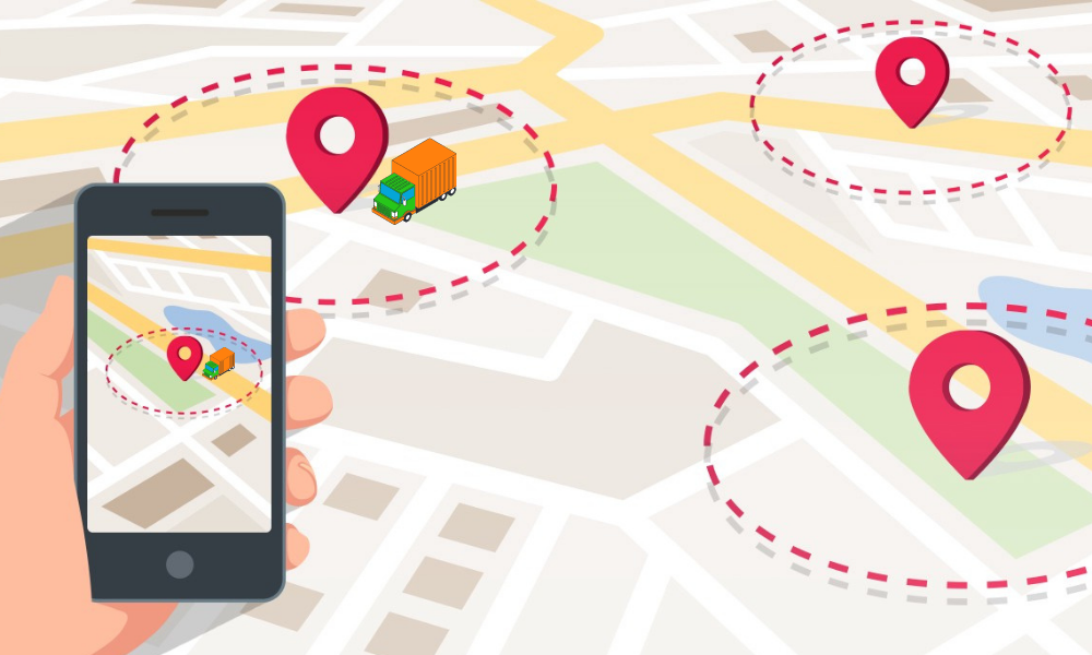
A geofence is a virtual perimeter for a real-world geographic area. A geofence could be dynamically generated (as in a radius around a point location) or match a predefined set of boundaries (such as school zones or neighborhood boundaries).
The use of a geofence is called geofencing, and one example of use involves a location-aware device of a location-based service (LBS) user entering or exiting a geofence. This activity could trigger an alert to the device's user as well as messaging to the geofence operator. This info, which could contain the location of the device, could be sent to a mobile telephone or an email account.

Real-time analytics of all your vehicles location
Can generate reports for high-level details to view fleet performance over a given period of time
24Hr support for any troubleshooting needs
Offers a mobile interface that works with the types of devices you use for your business

Real-Time data on the movement of your vehicles

Less fuel consumption through monitoring and measuring the driver's use of fuel

Geo-fencing i.e alerts when a vehicle is entering or leaving a specific area at any time

Increases vehicle security

Ability to request the latest status of the vehicle and receive the entire information

Can alert fleet managers about patterns of poor driving behaviours, such as harsh braking, harsh acceleration, harsh cornering and speeding

Data generated from gps systems helps organizations to make more informed business decisions hence reducing operational costs

Businesses can monitor time spent at job sites or at loading bays and work to ensure drivers are more productive. Also, by ensuring the nearest vehicle is routed to a job, businesses can eliminate waste.